
Freckenham Village Website
Information about the Village, the Parish Council and events in the Village Hall


Information about the Village, the Parish Council and events in the Village Hall
Freckenham is a small village with some 150 houses in the parish, most within the village, and with 280 names on the electoral role. The total area of the parish is 846 hectares - 2090 acres. The western and southern boundaries of the parish form the Suffolk border with Cambridgeshire.
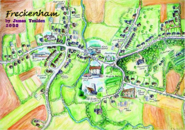
An outline of the village area at the turn of this century is shown in the following drawing by James Youlden.

The shop, post office and garage have all closed over the last 20 years or so but one of the two public houses still remains this being THE GOLDEN BOAR INN which has a restaurant. For further information visit the Golden Boar Inn website (external link).
The village is surrounded by fairly light, but fertile, arable land mostly farmed by three farmers, two being Suffolk County Council smallholding tenants.
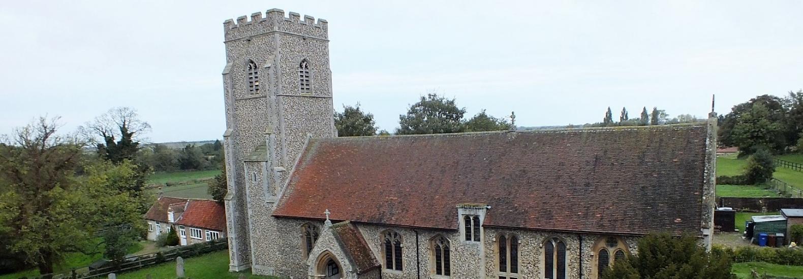
A portion of the village is a Conservation Area; this starts round the Grade II* Listed Church, along Church Street to Pound Corner (site of the village pound in years gone by), partway along The Street to include the Golden Boar [Grade II Listed] and along North Street.
Near the church is a mound surrounded by a deep entrenchment, supposed to be the site of an ancient fortification reputedly attributed to Queen Boudica.
The Lee Brook, a tributary of the River Lark, flows through the village and it forms two sides to the Recreation Ground, which is maintained by the Parish Council. In the Recreation Ground there are a number of children's play equipment and adult exercise equipment and there is a fenced off play area with a slide, seesaw, spring horse and swings.
For parish council and village hall contacts see Contacts